SESI is hiring for Geotechnical, Environmental, and Site Civil positions. Apply Now!


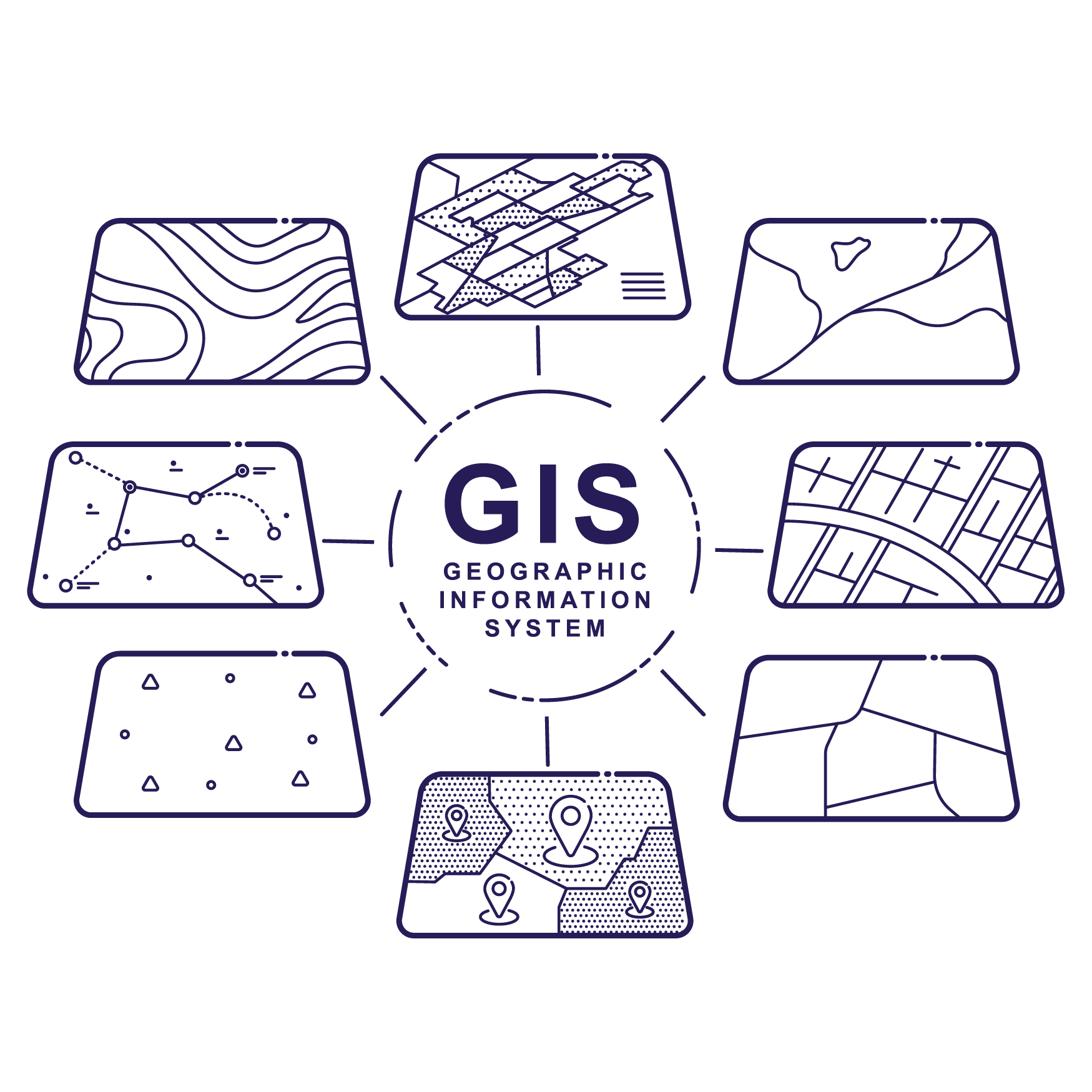
Geographic Information System
Geographic Information System (GIS) is a powerful tool that SESI uses to organize, track, and communicate important project information. It is a data management and visualization tool with many applications to analyze and map our surroundings. Property owners face struggles with managing and operating properties, as it requires dealing with the large volume of associated data tied to that piece of land and/or buildings.
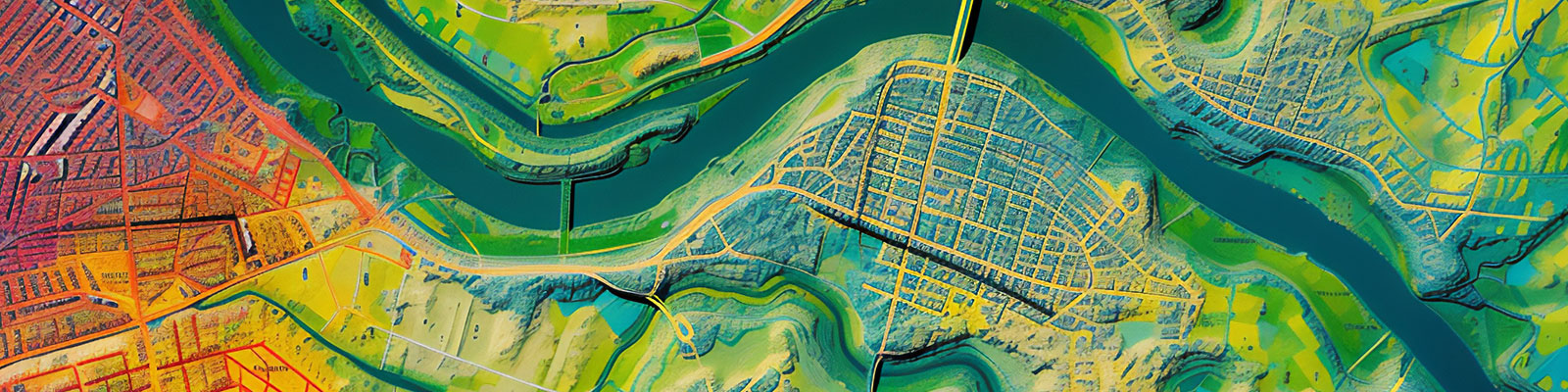
Clients can effectively leverage that information and gain new insights into the assets through GIS. The system provides easy-to-understand visual analyses paired with spatial analytics that are specific to a site, creating a more thorough but efficient analysis of the site all in one location. Analyses such as these can show the extent of a contaminated area to help assess pollution sources or collate historical data to show trends over time and space.
Another advantage of using GIS is that the information can be presented in user-friendly formats, suitable for government officials or community members, helping inform key decisions related to the site.
Industry Applications of GIS:
Municipalities:
- MS4 Regulation Compliance – Recent changes have been made to NJ’s stormwater management system that require the mapping of all stormwater assets within a municipality.
- (SEO language of regulatory names)
- Public outreach communication via web mapping applications
- Dashboards
- Story mapping – Interactive mapping provides insights beyond a static map
- Maintenance and inspection tracking
- Tracking asset installation, repairs, and replacements
- Converting paper-based data to digital data
- Development and management of databases
- Remote sensing image analysis and mapping, including:
- Plant health such as street trees
- Impacts on coastal or stream areas
- Illegal dumping
Developers:
- Site selection
- Land use planning and design
- Asset management/inspection
- Helping to create an environmental impact assessment
- Mapping stormwater system usage
- Green and grey infrastructure
- Mapping impervious surface areas
- GIS field data collection
- Using remote sensing for 3D modeling and analysis
- Packaging and submission of GIS materials as required by the state
- Deed notices
- Classification Exception Areas (CEAs
There are countless uses that SESI can help industries with including: Ports, Lake Associations, Real Estate Firms, Law Firms, Utilities.