SESI was able to provide an engineering solution on this complicated site, where 3 previous development/engineering teams were not successful. Had it not been for SESI's team this project likely would not have been completed into one of the state's most iconic industrial development sites.
SESI is hiring for Geotechnical, Environmental, and Site Civil positions. Apply Now!
Pragmatic, Expert Civil Engineering Services
SESI Consulting Engineers works with our clients, combining a pragmatic approach with innovative techniques within civil engineering. From feasibility studies to site layout design to environmental concerns, working with SESI ensures your project is completed effectively with a forward-thinking approach that ensures success. See our projects to discover what SESI can do for you. We offer a wide range of site services in New Jersey, including Stormwater and Watershed Management, Special Hydraulic and Groundwater Modeling, Dam Rehabilitation and Design, Regulatory Approvals and Land Use Entitlements, Site Designs, Plans, and Specifications.
What is Site Civil Engineering?
Site Civil engineering combines knowledge of a property’s environmental constraints, project impact, and relevant regulations to determine a development’s feasibility. A site layout is developed while liaising with stakeholders, consultants, contractors, and relevant government agencies. Environmental constraints include soil characteristics, location within a watershed, and hydrologic considerations. Project impact includes zoning and land use ordinance effects, impervious surfaces, stormwater runoff water quality, and topographical changes, such as the need for retaining walls due to significant elevation changes. Government agencies include local, state, and federal agencies like the Environmental Protection Agency (EPA), Army Corps of Engineers (USACOE), New Jersey Department of Environmental Protection (NJDEP).
-
Botanical Surveys
Surveys detailing plant life present on your project site are often needed to determine the possible presence, or assured absence, of protected plant species. SESI specializes in flora identification to assist you in determining development potential.
-
Dam Design
Dam design is impacted by the type of property, intended land use, and client's needs. We closely consider all environmental factors that will impact the structure and function of a dam. While also following state and local guidelines to keep the public safe.
-
Dam Rehabilitation
Dams are utilized across New Jersey to assist with flooding control, irrigation, hydropower, etc. However, natural aging, lack of resources, natural and man-made threats can negatively impact dam infrastructure. Rehabilitation allows an engineer to support an existing dam and ensure continued safety and effectiveness.
-
Data, Organization and Management
Asset Management is the process of creating a detailed framework for analyzing/understanding the real-world location of an asset in a spatial context. This will show how other types of data (such as rainfall, temperature, traffic, etc.), can and will impact the assets through their spatial association. Having this framework can also allow you to track the maintenance of each asset so that you can accurately prioritize maintenance work orders. From there, the framework helps create efficient inspection schedules records the results of inspections for other stakeholders to easily view.
-
Data, Strategic Collection
Accurate data analysis requires complete data for which consistency and confidence in the process is essential. On sites with multiple data points that require collection and analysis, it is crucial to employ streamlined processes that are standardized for frequent/regular use. Our digital field collection methods, customized and integrated to fit your teams' needs and processes, make quality data collection and mapping easy.
-
Ecological Risk Assessment
Evaluation of how likely it is that the environment might be impacted as a result of exposure to one or more environmental stressors, such as chemicals and land-use change.
-
Environmental Construction Monitoring
Biological and environmental oversight during various construction operations within and surrounding environmentally sensitive areas. SESI is dedicated to ensuring that best management practices are adhered to during all phases of field construction operations and that project activities are conducted in a manner that has the least environmental impact.
-
Environmental Impact Reporting
Environmental Impact Statements (EIS) are required to accompany applications for many types of development. An EIS assesses existing site and regional conditions, and include a comprehensive evaluation of anticipated impacts of the proposed activity not only on the natural environment, but on a wide range of social, economic, historic, and archaeological factors as well. Preparation of a Preliminary Environmental Assessment and Inventory Report for final site plan approval, including a thorough, accurate, and reliable assessment for regulatory review, comment, and approval.
-
Feasibility Studies
This study occurs early in the development plan. The site civil engineer takes knowledge of a property’s environmental constraints, project impact, and relevant regulations to determine a development’s feasibility. A site layout is developed while liaising with stakeholders, consultants, contractors, and relevant government agencies, and then presented to the Client.
-
GIS Spatial Analysis
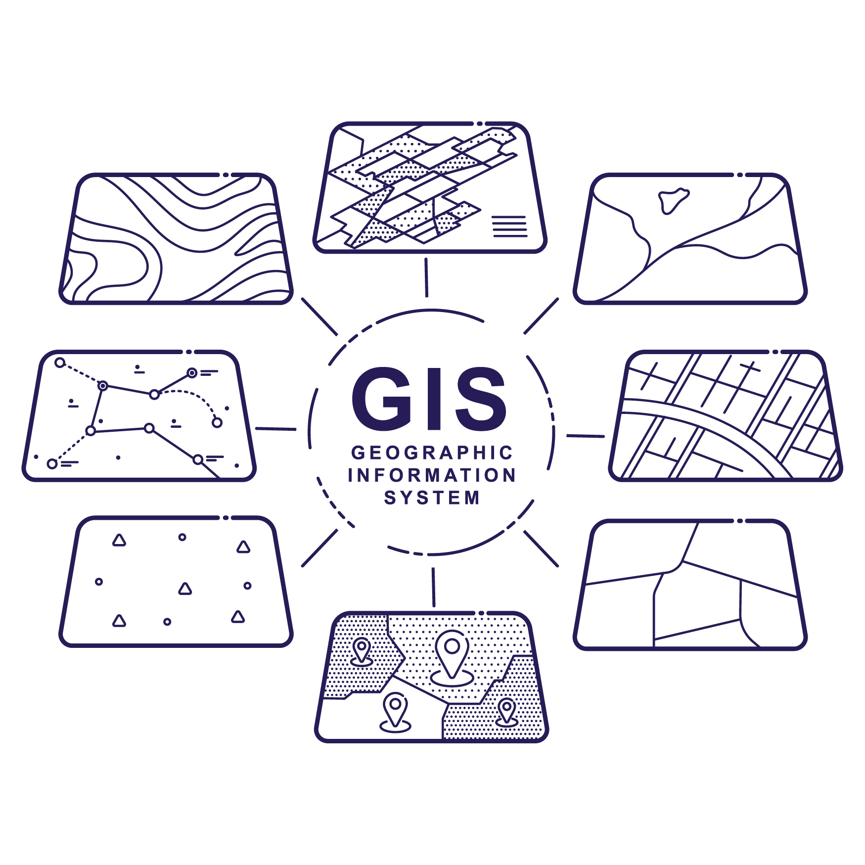
SESI leverages Geographic Information System (GIS) technology to perform advanced mapping and analysis, which aids in tasks like checking project details, locating contamination limits, and tracing contamination sources.
This technology helps us to examine site characteristics within their environmental context. For development sites, it's useful for identifying existing nearby features and predicting certain aspects, such as rainfall or terrain elevation, by comparing them with known data.
The insights gained can be presented in user-friendly formats, suitable for government officials or community members, helping inform key decisions related to the site.
-
Groundwater Mounding Analysis
Groundwater mounding analysis allows geotechnical engineers to evaluate the impact of stormwater runoff. Several tests are performed on the infiltration basin to determine if it will “mound up.” The analysis will determine if below-ground structures need to be altered to accommodate an overflow of water.
-
Land Use Permitting
SESI can help to identify regulated areas including wetlands, transition areas, and riparian zones; determine applicable regulations; develop appropriate permitting strategies; prepare required permit applications; and oversee NJDEP and/or USACE application review. This includes permits under the NJDEP Coastal Program, the NJDEP Flood Hazard Program, the NJDEP Freshwater Wetlands Program, and projects under the jurisdiction of the United States Army Corps of Engineers.
-
Natural Resources Inventory
A Natural Resources Inventory compiles information on important, naturally occurring features within a given locality, such as geology, soils, streams, wetlands, forests, and wildlife. Cultural resources such as scenic and recreational assets are often included, as well. SESI is experienced in evaluating and preparing these studies to help with future planning and development.
-
Municipal Stormwater Compliance
Both Tier A and Tier B municipalities have responsibilities to protect New Jersey’s ground and surface waters from point and non-point source pollution. SESI can assist you in maintain compliance with the rules that govern stormwater management requires that municipalities prepare and maintain both a Stormwater Management Plan and Stormwater Pollution Prevention Plan.
-
Regulatory Approvals & Land Use Entitlements
The state can require regulatory approvals and land use entitlements depending on your development project. SESI civil consulting engineers make the NJ approvals and entitlement processes quick and easy. Ensuring your project stays on budget and time frame is SESI`s top priority.
-
Site Designs, Plans & Specifications
Using information available from historical data, environmental, topographic, and land use mapping, the site civil engineer will design a development project taking appropriate physical or legal restrictions into account. We point out that throughput this process the site/civil engineer is constantly in communication with the Client to ensure that the resulting project is in line with his or her Vision.
-
Special Hydraulic Modeling
This application of fluid mechanics allows for the design of stormwater systems utilizing unsteady (time-dependent) modeling. This type of modeling is employed in sizing pumps in a system, as well as in riverine floodplain analysis. Results from this type of modeling determines the design of spillways and outlet works for dams, erosion and flood protection, water quality treatment device sizing, and other important features to address environmental site impacts.
-
Stormwater Management
During a major precipitation event, such as rain or snow, infrastructures can be overwhelmed by both the volume and intensity of runoff into natural and/or manmade waterways. The stormwater management design accounts for several factors to create a reduction in runoff volume, rate, and pollutant concentration into public streams.
-
Vegetation Community Analysis
Evaluation of species composition and structure of plant communities
-
Watershed Management
Watersheds are regionally and topographically-connected areas where runoff moves prior to being deposited into a body of water that can cross municipal, county, and state boundaries. The engineer evaluates geological/hydrogeological maps and then takes development, and adjacent/local area activity, into account to ensure that the impacts of the project on the watershed are mitigated.
-
Wetland Delineation
The presence of freshwater wetlands and wetland transition areas, regulated under the jurisdiction of State and/or the Federal Government, can have a significant impact on the development potential of a site. SESI performs comprehensive wetland evaluations determining the extent of wetlands through accurate field delineations, coordination with professional land surveyors, and preparation of comprehensive field data sheets and reports. As well as preliminary wetland evaluations to assist in advising property owners and contract purchasers in identifying the development potential of a property as part of due diligence investigations.


