SESI is hiring for Geotechnical, Environmental, and Site Civil positions. Apply Now!


news
What Can Geographic Information Systems Do For You?
April 28, 2025
Introduction
Our world is increasingly filled with large datasets and being able to generate actionable information out of these datasets is what sets companies apart. For SESI, Geographic Information System (GIS) is an important part of our decision-making toolkit that we use to deliver top quality service to clients on a regular basis. The array of tools available within a GIS provides a powerful way to organize, analyze, and communicate project data. This in turn allows both project managers and clients to effectively leverage this information to gain new insights into the assets they are working with.
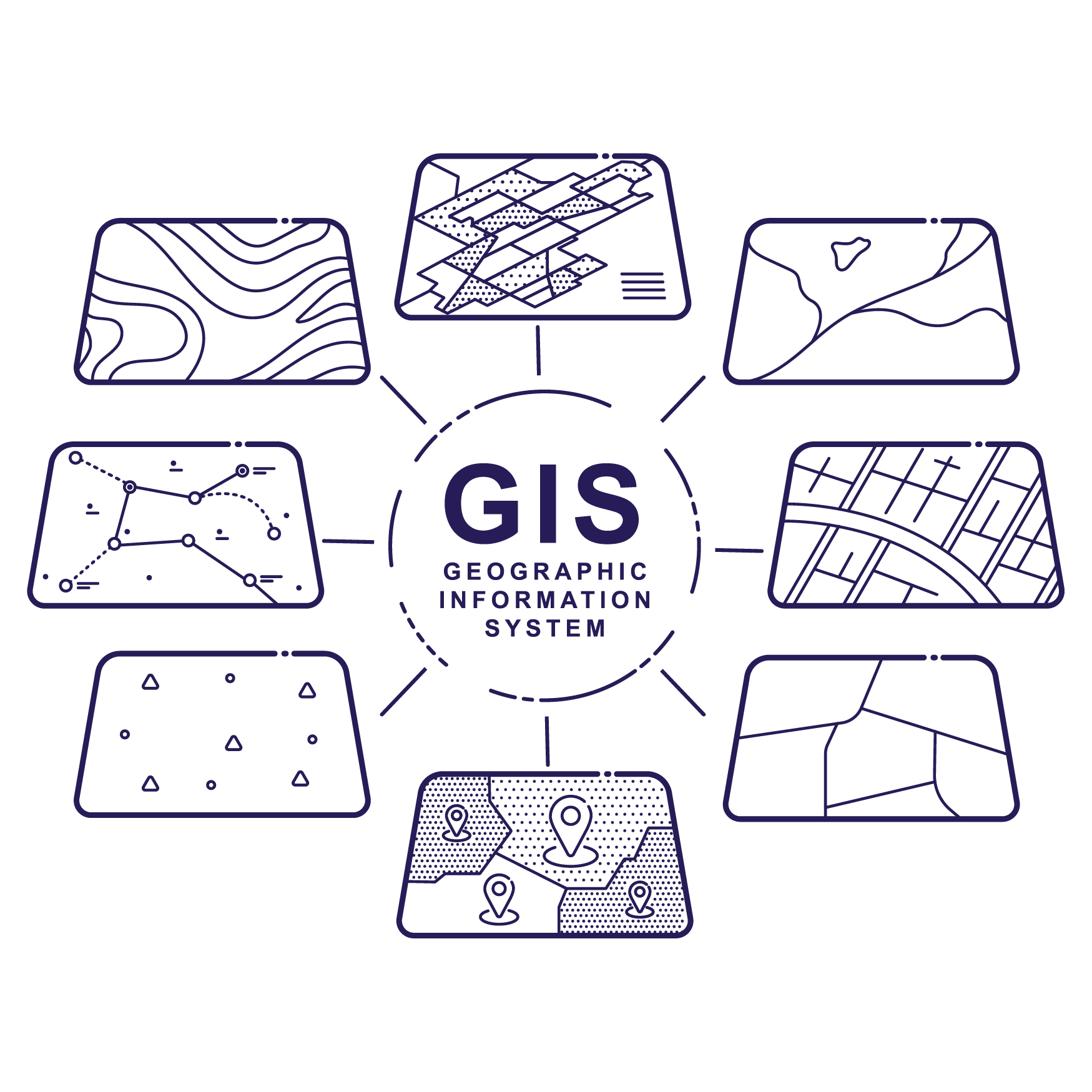
What is GIS
A Geographic Information System pairs a geographic location with database tables that can then be used by GIS Specialists to create a digital model of real-world locations and assets. However, knowing an asset location and its details is only the first step. Depending on the model that is used it can provide both analytical and organizational benefits to a user.
Analytical Insights
The analytical strengths of a GIS model are twofold. The first is that it creates points of comparison between a location of interest and its surroundings, to understand the geographical context of what you are looking at. The second is that it creates a comparison between historical and current data sets to provide a more complete historical context for the data available. Once existing trends and patterns have been identified, a GIS model can also help predict future outcomes for an asset or area.
All of this culminates in a powerful decision-making tool when the results of the findings are communicated through easy-to-understand visual analyses paired with spatial analytics. The result is a holistic overview of the area of interest.
The versatility of GIS offers countless uses. Here are several additional use cases for how GIS can benefit the user:
- Identify patterns and associations that do not show up in spreadsheets
- Interpolate missing information
- Model contamination plumes for a site
- Create 3D models of a site
- Determine site suitability
- Predict the life span of an asset
- Improve emergency management practices
- And many more…
Organizational Benefits
The organizational strengths of a GIS system are evident when it is housed in one central (cloud-based) location. First, this ensures that there is a single consistent source of information, from which all users are operating. Second, having the information stored on a cloud-based system will mean that it can be accessed through user-friendly web-browser applications. This will in turn improve accessibility, allowing users to find the information they need wherever and whenever they need it. The last benefit of having records stored in a cloud-based system is that this will prevent information from becoming lost or overlooked, which might happen if it is stored only in a paper format.
Industry Applications of GIS
As a project management tool, this technology offers many applications that can benefit both public and private sector clients.
Public Sector Clients
- MS4 regulation compliance – Here is a link to the blog post that SESI has written on the updated MS4 regulations: https://www.sesi.org/news/updated-njdep-stormwater-regulations-released-november-2023
- Asset management and inspections
- Remote sensing image analysis and mapping, including:
- The health of street trees
- Impacts on coastal or stream areas
- Illegal dumping
- Audience engagement
- Custom web applications:
- Dashboards
- Story mapping
- Visual/Site Analyses
- Converting paper-based data to digital data
- Development and management of databases
- Lead Water Pipeline Service Mapping
Private Sector Clients
- Site selection analyses
- Asset management and inspections
- Land use planning and design
- Creating environmental impact assessments
- Mapping stormwater system usage
- Green and gray infrastructure
- Mapping impervious surface areas
- Using remote sensing for 3D modeling and analysis
- Packaging and submission of GIS materials as required by the state
- Deed notices
- Classification Exception Areas (CEAs)
There are countless uses that GIS can help industries with including: Ports, Lake Associations, Real Estate Firms, Law Firms, Utilities
Related News
 Advisory Update: FEMA Flood Mapping Changes To Affect NY and NJ | SESI
 SESI Learning Series: Due Diligence Phase 1 ESA or Preliminary Assessment
 SESI Learning Series: The Latest NJDEP Guidance
 The Expanded Jurisdiction of New York State’s Freshwater Wetlands Act